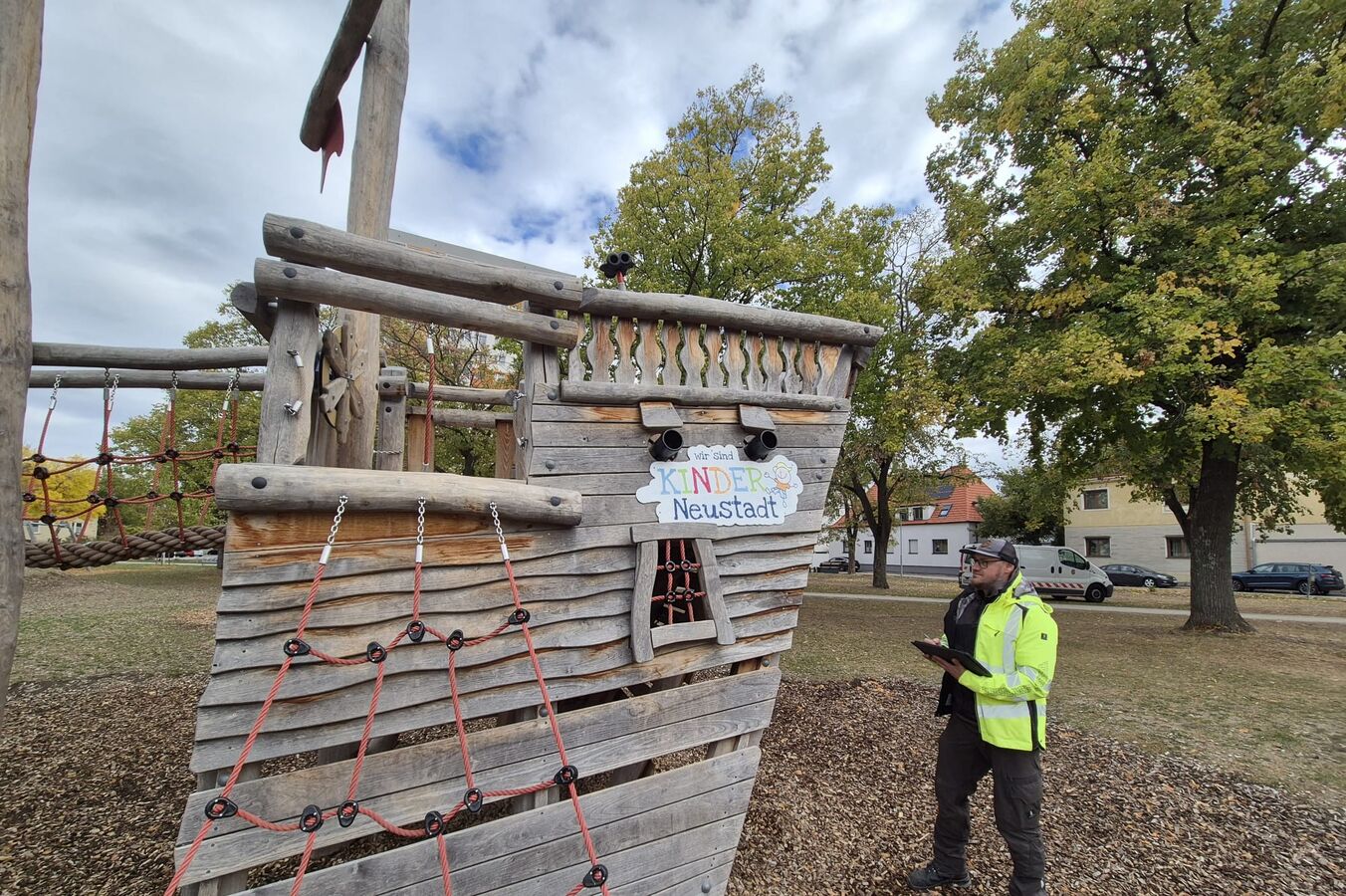
 The rmDATA information system is used, among other things, to manage playgrounds.
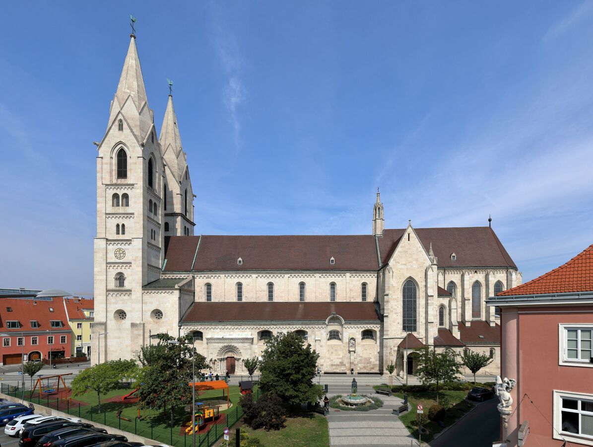 The Cathedral of Wiener Neustadt Photo: © C. Stadler/Bwag
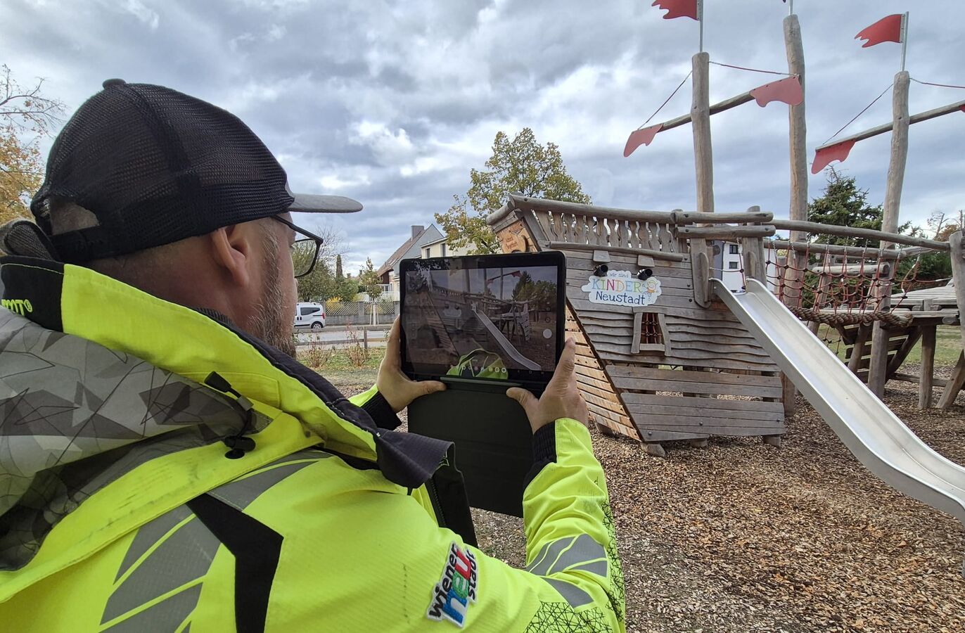 During inspections of trees, bridges, and playgrounds, employees can use mobile devices to record, document, and assign defects directly on site. Photos and reports are saved immediately and remain fully traceable.
Wiener Neustadt uses rmDATA Info as a central platform for geographic information
For many years, the city of Wiener Neustadt has relied on solutions from rmDATA, a leading Austrian company in the field of geoinformatics. Today, the focus is on the rmDATA Info information system, which serves as a shared platform that brings together various types of geodata and specialized information. The city administration uses it to manage geodata, infrastructure assets, and administrative information. Citizens can view the zoning plan and development plan, among other things, via a public web map. What originally began as a tree registry has evolved into a central GIS platform for the entire city administration.
Scattered Data and Cumbersome Processes
The team at GB V/2 – Land Management and Geoinformation, led by Jürgen Otter, Geoinformation Coordinator – provides the GIS for the entire city administration. Previously, regular exports were necessary to make the data available in the web GIS. As a result, some information was several weeks old.
This was particularly relevant for property subdivisions: Planned subdivisions are recorded in the GIS early on so that affected departments are informed about ongoing procedures. In addition, there were various siloed solutions and separate databases that had to be maintained and synchronized.
The Solution: A Central Platform with Up-to-Date Data
Together with rmDATA, the city modernized its GIS landscape. Existing data sets were analyzed, cleaned, and migrated, and information from various SQL databases was consolidated. rmDATA Info was expanded to serve as the central platform for the new Web GIS.
Data collection continues to take place in rmDATA Geomatics, and the information is now immediately available in the Web GIS. This largely eliminates redundant data storage and regular exports between different systems.
“The data can be integrated easily and directly, and duplicate entries and manual exports are largely eliminated. As a result, we have more up-to-date data and less administrative effort.” – Jürgen Otter, Geoinformation Coordinator, Wiener Neustadt City Administration
The information system was gradually expanded to include additional specialized applications. Today, it is used to manage, among other things, trees and green spaces, bridges, street fixtures, and playgrounds. Special topics such as city-owned properties or “stumbling stones” with information on deported citizens are also mapped. Additional use cases are being added on an ongoing basis.
Up-to-date data, more efficient processes, and new ideas
The new information system was rolled out in phases in 2026. By the time the legacy system was decommissioned at the end of September, approximately 150 employees had already been trained.
Since the transition, updated administrative data has been immediately available. Property divisions and other updates are immediately visible to authorized users. Role-based permissions ensure that employees see only the information and editing functions they need to perform their tasks. The elimination of manual exports also reduces maintenance efforts and improves data quality.
Digital Support for Field Staff
Field staff are also supported: During inspections of trees, bridges, and playgrounds, employees can use mobile devices to record, document, and assign issues directly on-site. Photos and reports are saved immediately and remain traceably documented.
What began as a GIS project is thus increasingly evolving into a cross-functional platform. More and more departments are contributing new requirements and discovering additional use cases. For example, there are plans to visualize winter maintenance routes to clearly display responsibilities and service areas.
“We are very satisfied with the rmDATA Info solution. It is faster, more modern, and opens up numerous new applications. At the same time, it has become a pool of ideas: When colleagues see what’s possible, new suggestions for further applications constantly emerge.” - Jürgen Otter, Geoinformation Coordinator, Wiener Neustadt City Administration
With rmDATA Info, Wiener Neustadt has created a central information platform that goes far beyond traditional GIS tasks. Up-to-date data, standardized processes, and flexible specialized applications support numerous areas of city administration and create opportunities for further digital applications.
"The data can be integrated easily and directly, largely eliminating duplicate entries and manual exports. As a result, we have more up-to-date data and less administrative work."
"We are very satisfied with the rmDATA Info solution. It is faster, more modern, and opens up numerous new possibilities for use. At the same time, it has become a source of ideas: When our colleagues see what is possible, new suggestions for additional applications are constantly emerging."
Are you interested in a centralized data management system for your projects?
Our experts would be happy to provide you with a no-obligation consultation.
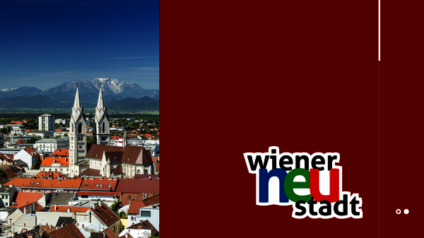 Photo © Franz Zwickl
About Wiener Neustadt
With a population of 50,000, Wiener Neustadt is the second-largest city in Lower Austria after the state capital, St. Pölten, and is located about 50 km south of Vienna in the Industrial Region. The city is home to the Theresian Military Academy, which is considered the world’s oldest active military academy dedicated exclusively to officer training. Wiener Neustadt is a major transportation hub with excellent connections to highways, rail, and air travel. The historic old town, with landmarks such as the cathedral, the casemates, and the military academy, shapes the cityscape and makes Wiener Neustadt an important cultural hub. As a center for business and technology, Wiener Neustadt is home to numerous companies, research institutions, and a strong educational infrastructure.