(Kopie 2)
One product for all needs: By switching to the rmDATA Geomatics comprehensive solution, the City of St. Gallen has improved its surveying workflow.
The City of St. Gallen’s Geomatics and Surveying Department is responsible for maintaining the official survey data throughout the entire city; it also performs construction surveys and specialized surveys. By switching to rmDATA Geomatik, City Surveyor Stephan Horat has consolidated the entire workflow—from point calculation and adjustment to CAD tasks—into a single product.
Full Range of Surveying Services
Stephan Horat heads the Geomatics and Surveying Department of the City of St. Gallen, which is divided into the Geoinformatics and Surveying divisions. The Surveying Division handles both the official cadastral survey and the city’s construction surveying: layout staking, sighting checks, stakeouts, monitoring surveys, digital terrain models—and, as a special case in St. Gallen, elevation point calculation, in which the height of a new building’s center of gravity is determined based on the original terrain to comply with the elevation requirements of the building code. The department carries out this work as the city’s supervisory body for every new construction and addition project on behalf of the Building Permits Office (ABB).
Until now, the team had relied on several separate rmDATA products for all of this: rmGEO, rmNETZ, and rmDATA GeoMapper, which also meant switching between products and work steps. AutoCAD Map was also running in parallel for CAD work. “That was the main reason why switching was beneficial for us,” Horat recalls, referring to the savings on license costs.
One central tool instead of many
The goal of the switch was a seamless data flow: Data collected in the field—for example, from Leica or Happy Survey devices—was to flow directly into a central program, from which it could be distributed further, rather than passing through multiple siloed solutions. “After all, we don’t want to use a thousand different products,” Horat sums it up. Direct access to cloud platforms in the September release of rmDATA Geomatik is a real benefit.
In addition, there were specific requirements for the new solution: simple, transparent license management, and the ability to work on various devices—even without an internet connection—which is important for field staff and those working from home. Last but not least, software updates now work seamlessly within the city administration’s secure IT environment without significant internal administrative effort—“with a single click, flawlessly,” as Horat emphasizes.
“By switching to rmDATA Geomatik, we always have everything we need; additional CAD software is no longer necessary, and thanks to offline capability lasting up to ten days, the software can be used flexibly both in the field and while working from home. Thanks to signed software packages, updates now run smoothly in the city’s secure IT environment.”
“A single gateway for all measurements”
Point calculation, adjustment calculations, and CAD work are now consolidated into a single product with rmDATA Geomatik, eliminating the need to switch between GeoMapper and rmGEO or rmNETZ. Databases from the field—from Leica devices as well as Happy Survey—can be imported directly: rmDATA Geomatics is thus, as Horat describes it, “the gateway for measurements,” from which all subsequent work steps originate.
The city now handles all construction surveying entirely through rmDATA Geomatik. For elevation point calculation, rmDATA even developed a custom script in collaboration with the city that automatically determines the building’s center of gravity. Because DXF and DWG are so well integrated, the city was also able to eliminate the need for a parallel AutoCAD Map license.
Flagship Project: Sliding Slope
Just how deeply the software is embedded in day-to-day operations was demonstrated by a flagship project: In a neighborhood that had shifted 15 to 20 centimeters toward the highway over decades due to a landslide area, Horat established a completely new control point network—starting in rmNETZ and completed in rmDATA Geomatics. All boundary points were resurveyed, elevations were redetermined via leveling, and the leveling adjustment was also calculated in rmDATA Geomatik. Finally, he compared the old and new point locations, plotted the vectors, and documented everything for the canton as the regulatory authority. “Here’s an example of how a surveyor doesn’t just lend his signature, but can still actually perform the work himself,” says Horat with a slight smile about the project, which he personally carried out from start to finish in the office and also actively assisted with during the fieldwork.
Positive Effects
The key benefit is the elimination of constant product changes and the optimization of departmental workflows: “We actually always have everything we need,” Horat summarizes. Additional, expensive CAD software is no longer necessary, license management is straightforward, and thanks to offline capability lasting up to ten days, the software can be used flexibly on various devices—both in the field and while working from home.
The vexing issue of updates has also been resolved: Because the software packages are properly signed, updates now run smoothly even within the city’s secure IT environment, eliminating the previous effort required for packaging. While Horat cannot provide specific figures on time savings—“it feels more efficient because you’re working in a single product”—he admits that the team did take a little longer during the initial transition because they had to reacclimate to their usual workflows.
Positive Collaboration
Horat also draws a positive conclusion regarding the collaboration with rmDATA: “What I appreciate most is the personal contact, the implementation of customer requests, and the willingness to address individual challenges. I’d really have to think long and hard to come up with anything negative to say.” With this newly gained flexibility, St. Gallen is already considering its next project: the documentation of approximately 600 municipal buildings using laser scanning—a project for which Horat is keeping an eye on the rmDATA Reality3D analysis software.
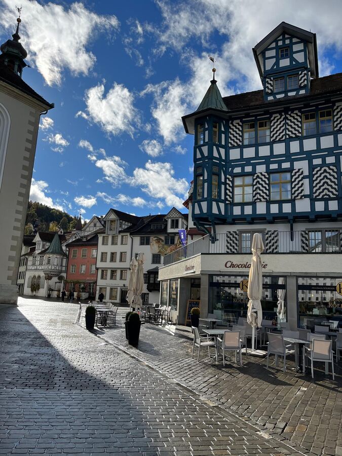
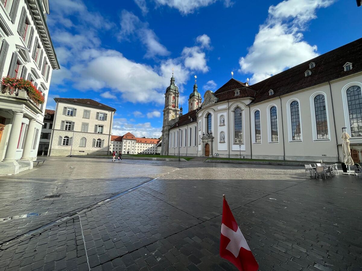
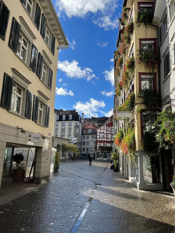
Images on the left: Scenes from St. Gallen’s Old Town. Photos © Karl Pongratz
Would you also like to use a single, comprehensive solution for all your tasks instead of multiple products?
Our experts would be happy to advise you—with no obligation.