
RISTAG Ingenieure AG is taking the next step toward an integrated end-to-end solution with the rmDATA geomatics solution.
RISTAG Ingenieure AG is an established Swiss engineering and surveying firm that supports public clients, businesses, and private individuals in construction and infrastructure projects. With services in cadastral surveying, geoinformation, construction and engineering surveying, and civil engineering, RISTAG covers the entire spectrum—from precise data collection and digital modeling to planning and construction management in civil engineering and infrastructure projects. In doing so, the technicians combine traditional surveying with modern 3D geodata and geomonitoring.
A comprehensive solution instead of many interfaces
Like many surveying firms, RISTAG also uses different software products for different tasks, each with its own data formats and its own support—and ultimately, a great deal of effort is required to exchange data between systems. The owner’s vision was clear: in the future, all processes should be mapped on a single platform, resulting in just one provider, minimal coordination needs, and direct communication with a single manufacturer. An ambitious goal that is now being realized with rmDATA.
“The comprehensive rmDATA Geomatics solution greatly streamlines our workflows because we’ve consolidated all capabilities into a single program.”
Nico Rohr, geomatics engineer and member of the executive board, RISTAG Ingenieure AG
The engineering firm RISTAG is not a new client. For years, the company has relied on the geodetic calculation solution rmGEO and on GeoMapper as geodetic CAD for construction and engineering surveying. Point cloud analyses and modeling are performed using rmDATA Reality3D.
DMAV in the Test Phase
Now comes the next step: a potential transition to the rmDATA geomatics solution for official surveying and the replacement of the existing GIS with rmDATA products for the utility line cadastre in accordance with SIA 405.
A prerequisite for this is that all relevant interfaces to the corresponding programs are seamlessly implemented—a requirement that RISTAG clearly articulates. RISTAG is currently in the evaluation phase. Workflows in rmDATA Geomatics and the official surveying solutions are being reviewed, opportunities for optimization are being identified, and internal processes and protocols are being integrated into the RISTAG quality management system.
Major Project: Bern Train Station Expansion—rmGEO as a Constant Partner
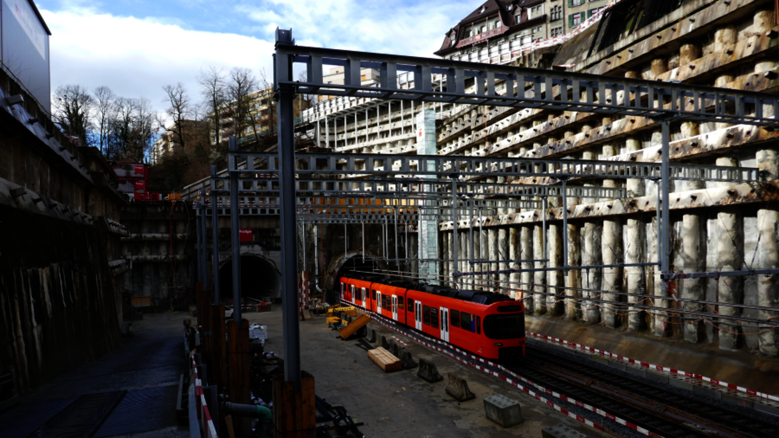
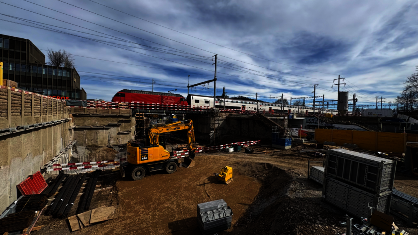
A recent project spanning the past few years illustrates what the integration of rmDATA products means in practice: RISTAG is overseeing the construction and engineering surveying for the RBS project “Expansion of Bern Train Station” at the Bern rail hub. This highly complex infrastructure project aims to renovate and expand Bern Station to accommodate the increasing passenger volume over the coming decades.
In this project, rmDATA software is integrated into many work processes: data management, calculations, and documentation—everything runs through this production pipeline. Only for network adjustment is it still necessary to switch to another program via interfaces, as project manager Nico Rohr explains, but even that can be done within a single system in the future thanks to the GEO functionality and network adjustment features in rmDATA Geomatics.
More Than Just Software: A Common Language
What Nico Rohr particularly values goes beyond the software’s functionality. He experiences the collaboration with rmDATA—whether in support or ongoing development—as cooperative and goal-oriented. Requirements are taken seriously and, where possible, implemented. “We speak the same language,” says Rohr—and he doesn’t mean the German language. For him, it means that both software manufacturers and software users understand the same challenges, pursue the same goals, and work together to further develop products. He notes that among large providers, this interest in surveying simply isn’t there.
BIM, 3D, and the Future of Surveying
“The demands on the quality and availability of foundational data are constantly rising,” says the geomatics engineer, describing the future requirements for surveying. He is thinking of BIM models, three-dimensional representations of utility networks including surface models, and the sensor-independent analysis of point clouds. With its systematic transition to the rmDATA comprehensive solution, RISTAG is already laying the groundwork for this today.
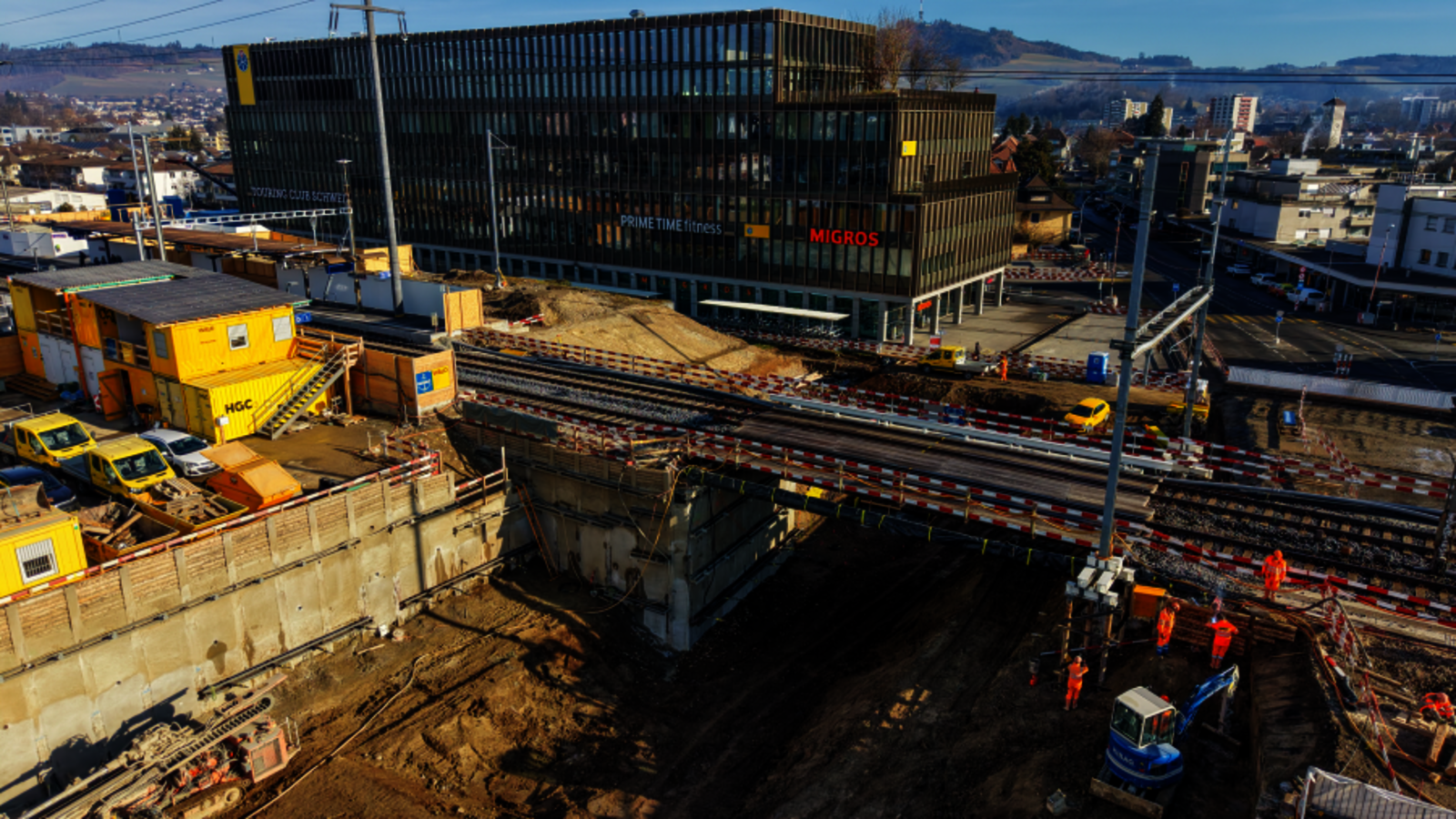
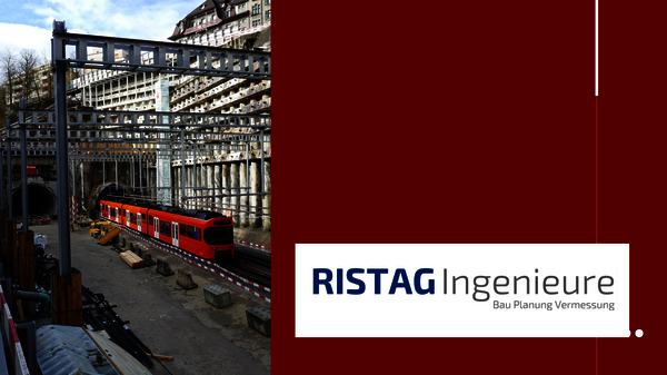
Images on the left: Major construction sites for Swiss rail infrastructure featuring engineering services provided by RISTAG Ingenieure, includingthe expansion of the Bern train station. Photos © RISTAG Ingenieure AG
“The rmDATA Geomatics comprehensive solution greatly simplifies our workflows because we’ve bundled many features into a single program.”
“Our collaboration with rmDATA—whether in support or ongoing development—is based on partnership and is goal-oriented. Our requirements are taken seriously and, wherever possible, implemented. We speak the same language.”
Would you also like to use a single, comprehensive solution for all your tasks instead of multiple products?
Our experts would be happy to advise you—with no obligation.
About RISTAG Ingenieure AG
RISTAG Ingenieure AG is a well-established Swiss engineering and surveying firm specializing in geomatics, cadastral surveying, geoinformation, and civil engineering. The company supports public clients, businesses, and private individuals in complex construction and infrastructure projects.
Thanks to interdisciplinary collaboration among its various departments and the innovative approach of its qualified staff, the engineering firm develops customized solutions for challenging construction projects.