
rmDATA Info is the central software platform for infrastructure management, land management, and municipal management. It combines planning, documentation, visualization, analysis, and operations into a single system—either in a secure cloud environment or in your own data center. This enables you to establish a sustainable foundation for digital processes and data-driven decisions.
With the latest update, rmDATA Info expands its capabilities for data exchange, data analysis, access control, and data collection. New options for geodata provision, intelligent filters, precise attribute permissions, and the direct import of geometries ensure greater efficiency in day-to-day work. Here’s an overview of the new features:
Easily Provide and Share Geodata
With the new export and provisioning features, it’s even easier to exchange geodata with external systems and partners. Data sources can be published directly as OGC WFS services and thus integrated in a standardized manner into GIS and specialized applications. In addition, the new Shape export feature enables straightforward data transfer, including client-specific field mappings, for consistent data exchange.
Intelligent Filtering in Table Views
Table views now offer significantly greater convenience when searching for data. Appropriate filter options are automatically suggested based on the respective data field. Whether time periods, yes/no fields, text, or numeric values: users always receive the appropriate filtering options. Active filters are clearly displayed, can be removed with a single click or saved as a permanent search, enabling fast and intuitive data analysis.
Precise attribute permissions and public users
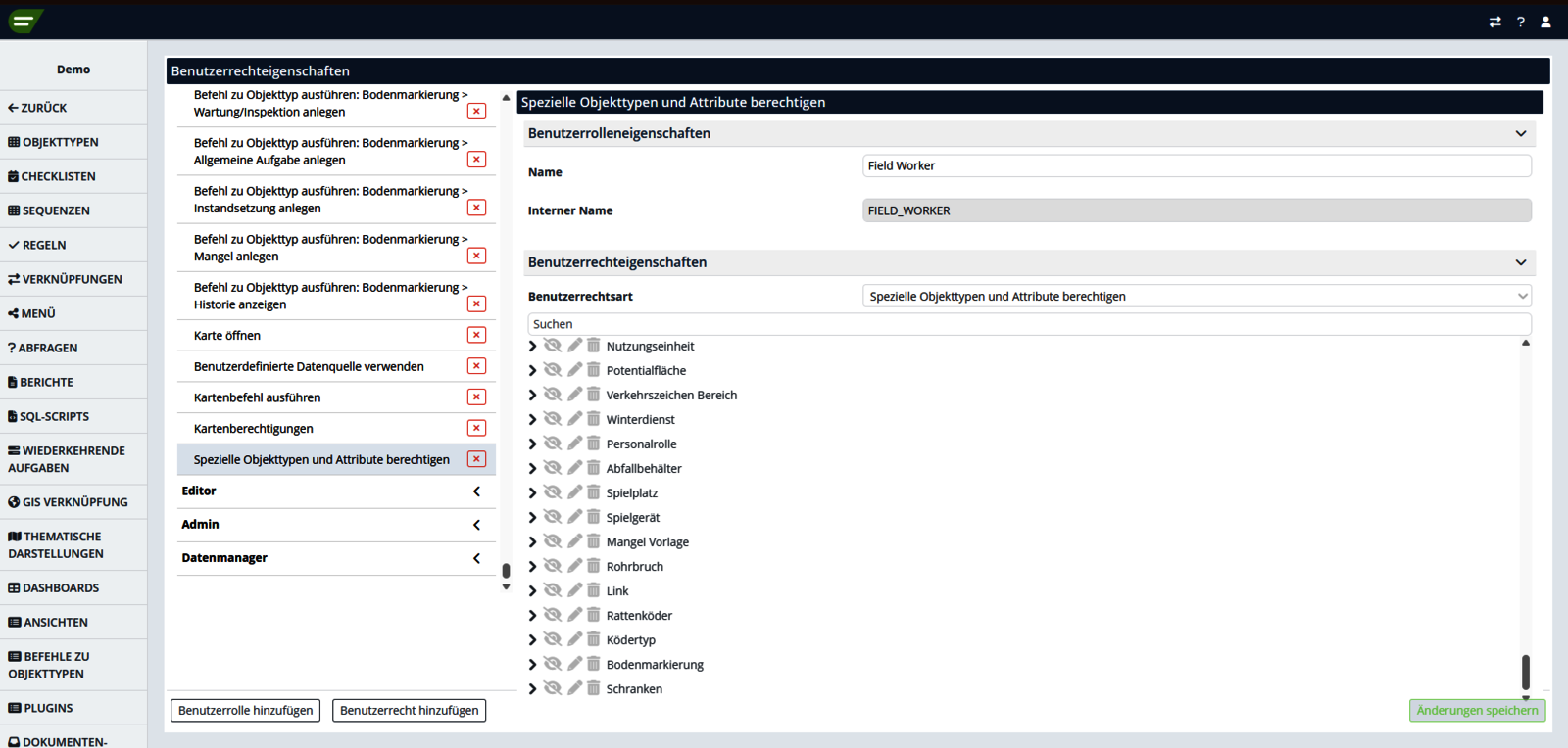
New attribute permissions enable even more targeted control over data access. For each object type, you can specify in detail which attributes, relationships, or subobjects may be displayed and edited. In addition, a public user can be set up to access defined content on the web. This ensures secure, role-based data management.
Create Technical Objects Directly from Graphic Elements
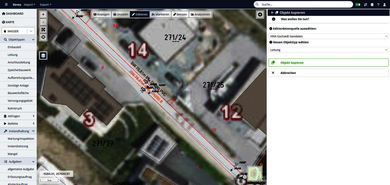
Existing geometries from graphic elements—such as DWG files—can now be selected directly in edit mode and used immediately as the basis for new technical objects. The selected geometry is automatically imported, eliminating the need for time-consuming redigitization. This speeds up the import of CAD and planning data and significantly reduces the effort required for data entry.
Discover more highlights of the 2026.3 update: In addition to the new features presented here, the current version includes numerous additional improvements—including the mobile app and the Municipal, Water, Wastewater, Mountain Rail, Telecom, and Energy editions. Detailed information on all new features and optimizations can be found here.
Interested in rmDATA Info?
Would you also like to benefit from the numerous advantages of the rmDATA information system? Contact us—we’d be happy to provide you with more information.