rmDATA Geomatics is a comprehensive solution that combines geodetic calculations—including network adjustment—CAD, GIS, and digital terrain modeling (DTM) into a single software package. As a user, you’ll benefit from a comprehensive tool for capturing, editing, analyzing, and outputting geodata and plans for various geomatics applications.
Look forward to the following new features, among others:
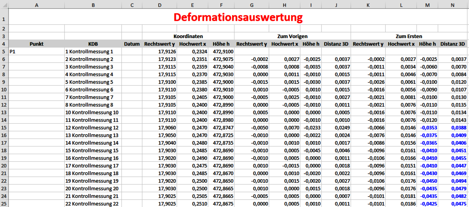
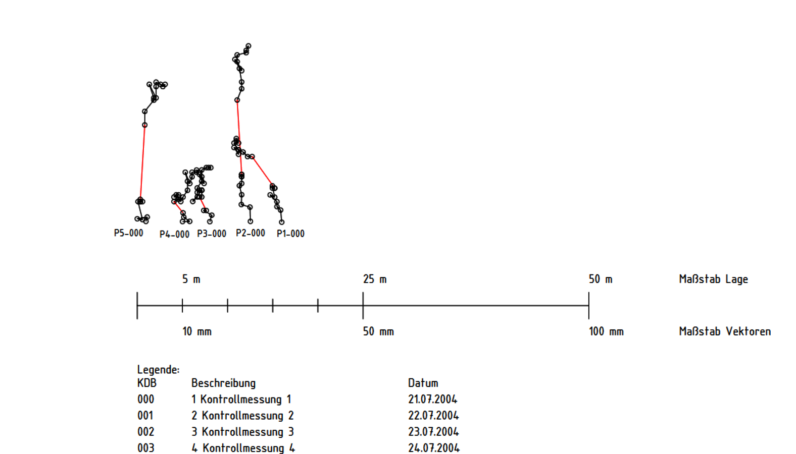
- With the deformation analysis feature, you can compare calculated point coordinates and display the differences both graphically and numerically.
- In the Cloud Services Manager, you can manage connections to your cloud projects. Currently, HappySurvey, Trimble Access, GEOvis, and TEDAMOS are supported.
- Edit your client’s DWG files directly—without transferring them. Add new CAD elements or delete or modify existing ones.
Deformation Analysis Module in rmDATA GeoMapper
At the same time, a new Deformation Analysis module is being released in the predecessor software, rmDATA GeoMapper: With the Deformation Analysis module, you can compare calculated point coordinates and display the differences graphically and numerically. In addition, numerous improvements have been implemented in the surveying instrument interfaces, the Surveying Module, and in network adjustment.
Switch to rmDATA Geomatics Now
Are you still working with rmGEO or rmDATA GeoMapper? Then now is the ideal time to switch to rmDATA Geomatics. Benefit from a future-proof all-in-one solution that combines all essential geomatics functionalities in a single platform and sustainably accelerates your processes through modern workflows and integrated production modules.