The long-standing, trusting exchange between Amberg Infra 7D AG and rmDATA AG Switzerland has now resulted in an official collaboration. The two established software providers with a common philosophy - to make customers more successful - are pooling their expertise in the fields of geomatics and geomonitoring.
Continuous data flow - without media disruptions
At the center of the cooperation are the products rmDATA Geomatics and GEOvisfrom Amberg Infra 7D. Both solutions will work together seamlessly in the future. The result: a complete, integrated solution for surveying, data processing and monitoring - from the measuring device to visualization.
Users benefit from a fully digital data flow without imports, exports or manual interfaces. Measurement data can be processed, visualized and exported at any time and from any location - including individual reports and diagrams for third-party platforms.
Scalable solution for modern geomonitoring projects
The cloud-based GEOvis monitoring software enables the efficient monitoring and documentation of diverse and highly specialized construction projects. In combination with the modular all-in-one solution rmDATA Geomatik, which combines CAD, GIS, geodetic calculations and digital terrain modeling, the result is a powerful tool for geomatics engineers, surveyors and experts in the field of geodata.
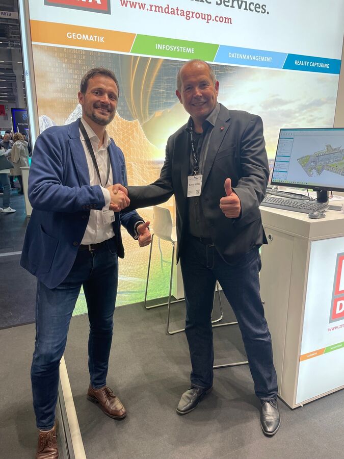
Kick-off at the INTERGEO 2025
The official launch of the cooperation took place in fall 2025 at INTERGEO in Frankfurt. Michael Buri from Amberg Infra 7D sees great potential in the collaboration: "Everything that concerns modern construction site monitoring can lead to online monitoring and digital documentation in the future." He is thinking of potential applications such as permanent monitoring measurement, as-built documentation or further sensor integration.
This cooperation opens up new areas of business for both rmDATA and Amberg Infra 7D customers.