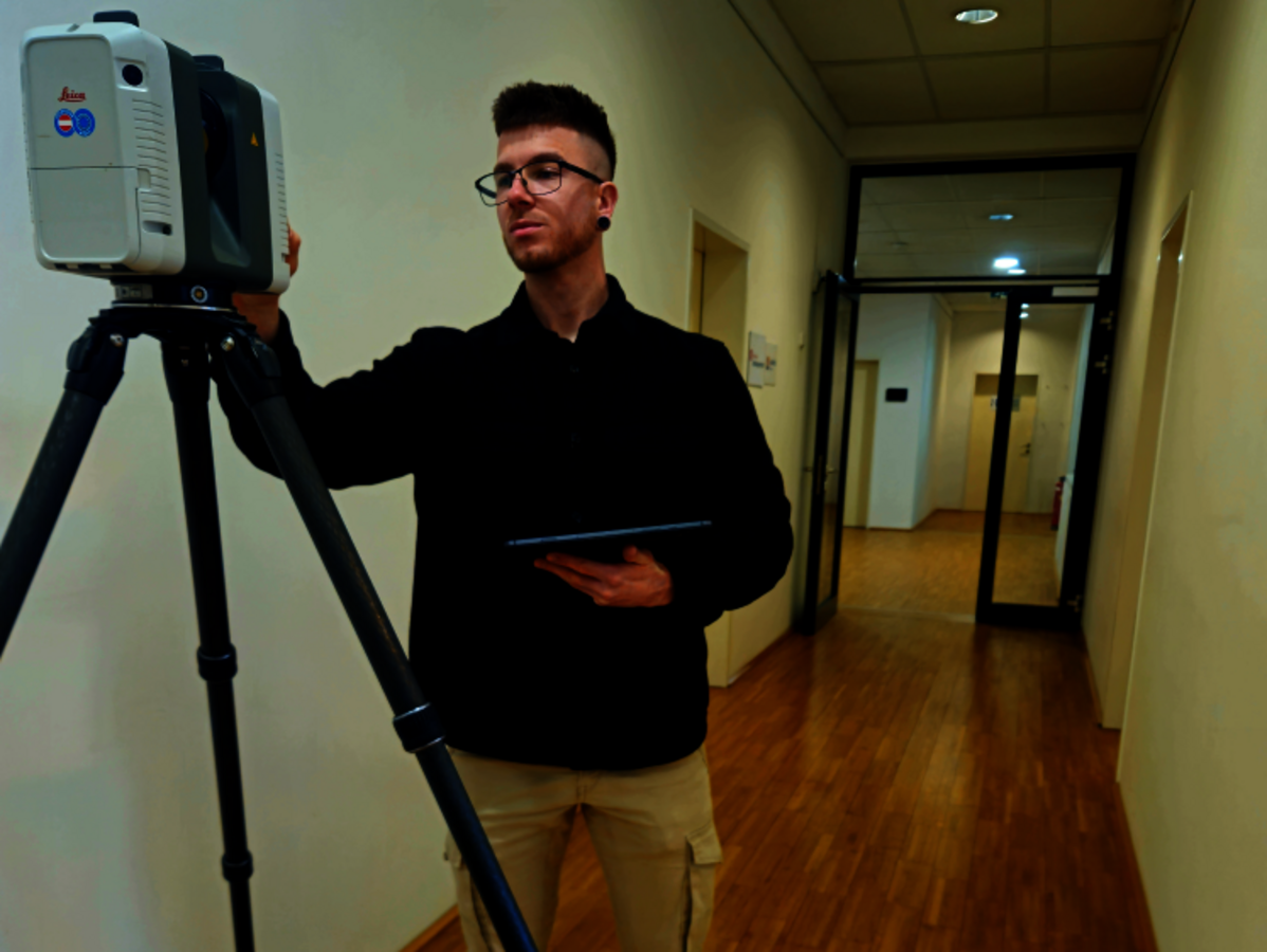
The surveying office GeoTech from Carinthia recognized early on that the future of surveying lies in laser scanning - and now relies entirely on rmDATA Reality3D for as-built surveys. What began as a vision has become a real competitive advantage with modern hardware and intuitive software: point clouds can be evaluated quickly and precisely, 2D plans and BIM models are created much more efficiently and traditional measuring methods with the total station are increasingly being replaced.
Redefining surveying with rmDATA Reality3D
GeoTech has thus opened up a completely new field of business: the team now delivers perfectly prepared 3D models for timber constructors, architects and planning offices - at a speed and quality that was previously unthinkable. Projects that would previously have been unprofitable are now economically attractive thanks to automated object recognition, intuitive navigation and fast section generation. The result is a time saving of 30 percent on as-built plans, over 50 successful projects per year and consistently enthusiastic customer feedback.
GeoTech shows how innovative technology and user-friendly software are changing the industry - and how laser scanning is creating new business opportunities.